Volcanic hiking at Chinyero
Chinyero is the volcano of the last recorded eruption on the island of Tenerife, in November 1909. It is protected as a Special Nature Reserve within the Corona Forestal Natural Park, and several waymarked trails let you walk it with no prior authorisation. The contrast between the Canary pine forest and the black lava flows is what makes this walk singular.
If someone asks me for a route where you can genuinely see how a volcano works, I suggest Chinyero before almost anything else. It is not the island’s most spectacular walk, but it is the most legible: the eruption is recent enough that the landscape has not yet erased it.
What happened in 1909
The Chinyero eruption ran from 18 to 27 November 1909, along a north-west to south-east fissure more than half a kilometre long. It was a fissural episode with activity concentrated in two stretches, which produced two volcanic edifices of different size and behaviour.
To the north-west a horseshoe-shaped pyroclastic cone formed, of strombolian character, which emitted virtually all the material now making up its lapilli field and most of the flows that spilled south and south-west. Those flows tore pieces off the cone itself and carried them along as erratic blocks several metres high, which are still there and are among the most striking things on the walk.
There were no casualties. And there has been no eruption on Tenerife since.
What you see as you walk
This is what turns the route into more than a stroll through pine forest:
The contrast in colour. The green of the Canary pine against the black of the flow. It is a sharp boundary rather than a gradient, and it marks exactly how far the lava reached.
The erratic blocks. Enormous fragments dragged along by the flow and stranded in the middle of the lava field.
The lapilli field. The ash and pyroclasts covering the ground around the cone, with a texture that crunches underfoot.
The surviving pines. The Canary pine regrows after fire, and this area holds old specimens that withstood it. It is one of the most remarkable adaptations in the island’s flora.
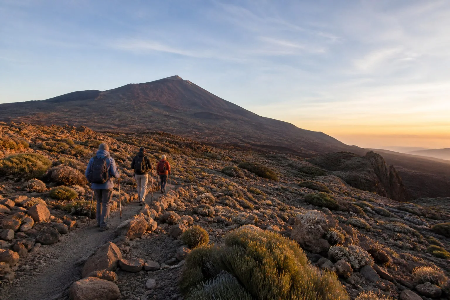
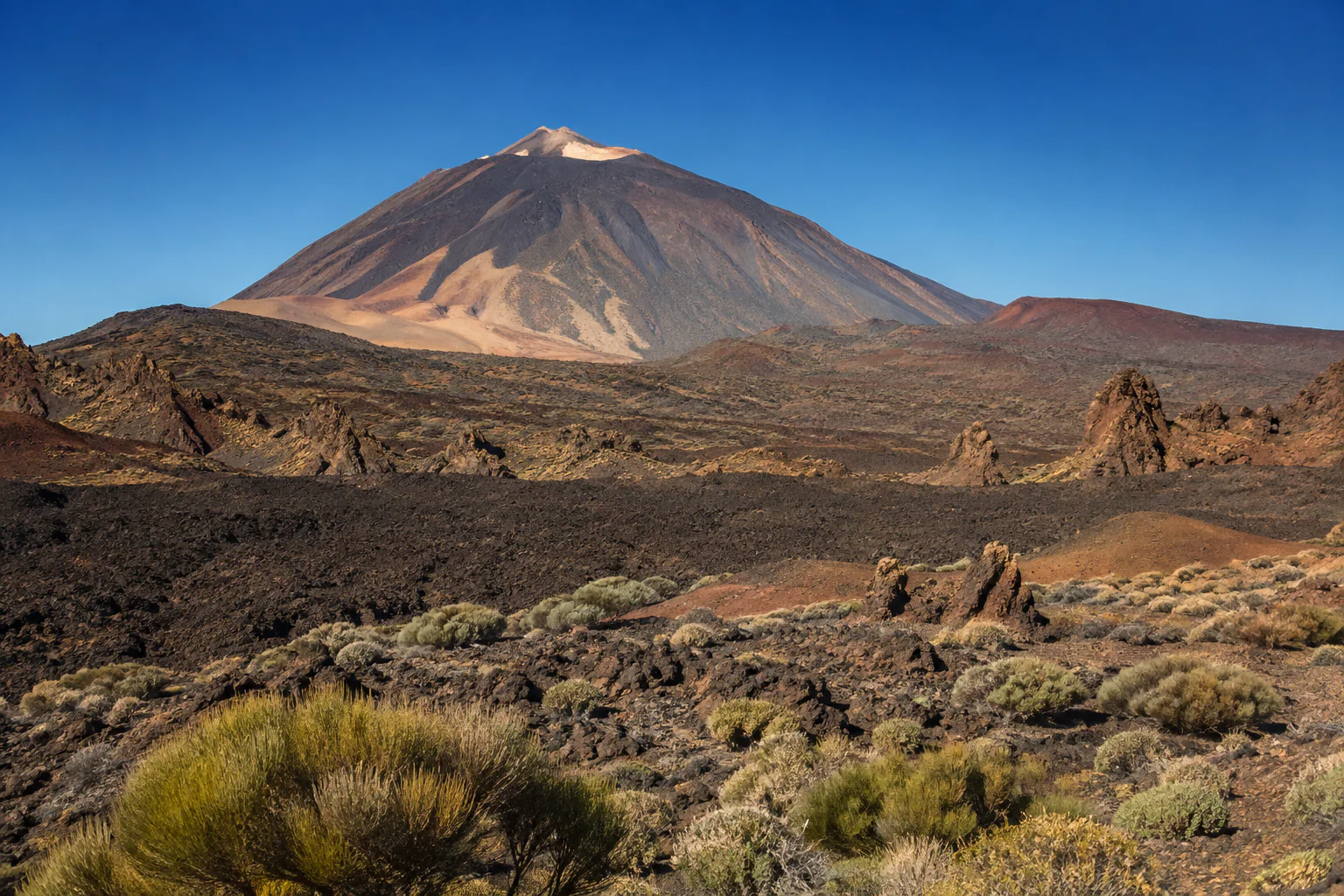
Teide in the background. On clear days the outline of Teide and Pico Viejo accompanies much of the route. Chinyero sits around ten kilometres from the peak.
The trails
The island trail network includes several routes reaching Chinyero, at very different levels. The main ones are:
| Trail | Starting point | Character |
|---|---|---|
| PR-TF 43 Garachico – Montaña Chinyero | Garachico | The most demanding. Climbs from sea level through old lava flows |
| PR-TF 43.1 San José de los Llanos – Chinyero | San José de los Llanos | Intermediate access |
| PR-TF 43.2 Los Partidos de Franquis – Chinyero | TF-373 road | The gentlest and the shortest |
| PR-TF 43.3 Santiago del Teide – Montaña Chinyero | Santiago del Teide | Intermediate, with real ascent |
To those access routes you add a circular route around the cone itself, which is the part genuinely worth doing and where all the branches lead.
None of these trails requires prior authorisation, unlike El Pijaral or the regulated trails of Teide National Park.
But it is worth checking their condition first. At the time of writing, PR-TF 43 carries a notice of partial closure for forest track maintenance work, with intermittent interruptions expected. That is exactly the kind of thing that changes and is worth checking on Tenerife ON the day before.
Choosing your access route
It comes down to two things: how far you want to walk and how you plan to get back.
If you want the essentials with little effort, the shortest access from the road plus the circular around the cone covers the interesting part.
If you want a half-day walk, the approaches from Santiago del Teide or San José de los Llanos give a fuller progression: you move from farmland and almond trees into pure volcanic terrain.
If you want a long, demanding day, the route from Garachico is linear and climbs from sea level. And here is the detail that ruins most plans: it is linear, so the return has to be solved before you start.
In every case, the least experienced person in the group sets the level.
What to bring
- Closed shoes with good grip. Lapilli is loose and slippery, and lava has sharp edges: it is cutting rock.
- Enough water. There are no water points and the area is dry.
- Sun protection, a cap and sunglasses. There are stretches without shade and the dark ground radiates heat.
- A windproof and layers. The area sits between roughly 1,100 and 1,450 metres: it cools quickly once the sun drops or the wind picks up.
- Stay on the trail. This is not only a rule: the lava field is unstable and the ground is sharp.
In summer, check the wildfire risk level before planning the route. This is pine forest and restrictions attach to pre-alerts.
How I can help
Chinyero is one of the routes where having someone explain what you are seeing makes the biggest difference, because the landscape is legible but not obvious: telling a 1909 flow from an older one, understanding what an erratic block is or why a pine is still alive changes the walk entirely.
I prepare private low and mid-mountain routes agreed with your group: the itinerary is decided according to your real pace, the date, the state of the access routes and the expected conditions, and it is confirmed in writing before booking.
I hold the qualification of low and mid-mountain trail guide (AFDA0611), which includes the first-responder and first-aid unit, and the activity is registered for active tourism (TA-4-0026356.16), with the insurance the regulations require. I am also an official tourist guide of the Canary Islands (GTI-289).
If volcanism in the island’s interior is what interests you, Teide National Park offers a different register: I cover it in hiking in Teide without the summit.
Frequently asked questions
Do I need a permit to walk at Chinyero? No. The waymarked trails reaching the volcano are freely accessible. What is worth doing is checking their condition on Tenerife ON beforehand, because there may be closures for maintenance work or wildfire risk.
Is it a difficult route? It depends which access you choose. There are short, gentle branches and a long route from Garachico that climbs from sea level. The circular around the cone is manageable for most people who walk with any regularity.
Can it be done with children? With children who walk comfortably and choosing the short access, yes. What needs watching is sun, water and footwear: loose lapilli is more tiring than it looks.
Is walking on a lava flow dangerous? On the trail, no. Off it, take care: the rock is sharp and the ground unstable. That is a practical reason, on top of the environmental one, not to leave the marked route.
When is the best time to go? October to May. In summer it is hot at that altitude, there is little shade and wildfire restrictions may apply.
Is Chinyero the volcano that destroyed Garachico? No, and this is a frequent confusion. Garachico’s harbour was buried by the flows of the 1706 eruption, in the Trevejo and Arenas Negras area. Chinyero is from 1909 and was Tenerife’s last eruption. Both landscapes are close and can be seen on the same day.
Can you see Teide from there? On clear days, yes, and it is among the best of the route. With calima or high cloud, no.
Before you go
Check trail conditions and alerts at tenerifeon.es. And if you would rather walk it with someone who can explain it, write to me with your dates and your walking experience.
→ Check availability · Anaga and walking · How to visit Teide
Qualifications, registrations and professional associations
Official Canary Islands Tourist Guide, Starlight Guide and low and medium mountain route guide.
- Official guideGTI-289
- Starlight Guideno. 40
- Low and medium mountainAFDA0611
- Active tourismTA-4-0026356.16
- Tourism intermediaryI-0005095.1
Registered active tourism activity with the current civil liability and assistance or accident insurance required by law.