Guided hiking in Teno
Teno Rural Park is good walking country, but access conditions matter more here than elsewhere in Tenerife. The road to Punta de Teno is regulated and public access is organised through bus route 369. Walking in Teno is not the same as visiting Masca by road, nor as descending the gorge, which is a separate regulated activity.
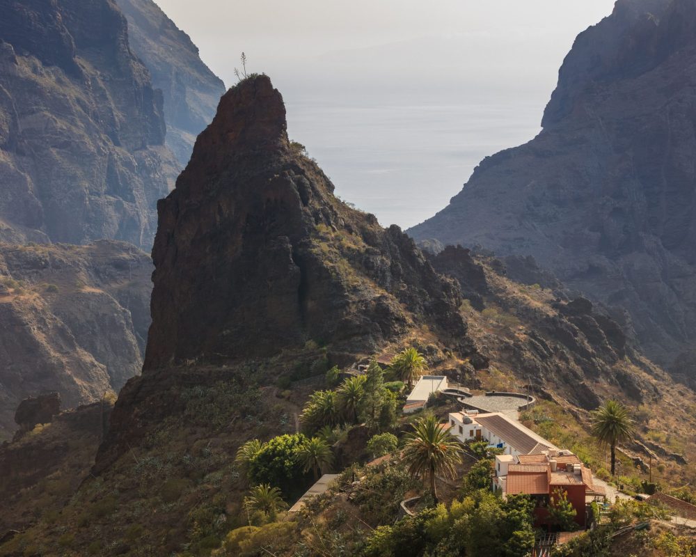
Teno is the massif at the north-western tip: old, abrupt, with a history of isolation you can read in the terrain. It is also where more plans go wrong for not having checked an access route.
I will start there, because that is what really decides whether a day in Teno works.
Three different things people confuse
| What it is | What it needs | |
|---|---|---|
| Walking in Teno | Trails across the massif, Teno Alto, El Palmar, the monteverde woodland and the cliffs | Nothing, beyond checking trail conditions |
| Visiting Masca by road | The village and the viewpoints along the way | Nothing. Limited parking |
| Descending the Masca gorge | A regulated activity, rated as difficult, with a boat exit | Paid booking, compulsory shuttle and boat ticket. I explain it here |
All three get called "going to Teno" in conversation, and they have nothing to do with each other. The first is what this piece covers.
Where access stands, today
This is the section most likely to have changed by the time you read it, so it comes with a date: verified on 9 September 2026.
Punta de Teno. The TF-445 road from Buenavista del Norte to the lighthouse remains regulated. For visitors, Titsa publishes route 369 as the bus access. Conditions may change because of weather or incidents, so check the official information on the day.
There are specific exceptions for people with reduced mobility holding a parking card, and for vehicles carrying boats or equipment that, by size or for safety reasons, cannot use public transport.
Line 369 links Buenavista del Norte bus station with Punta de Teno in around twenty minutes, at a special fare of one euro per person each way, payable in cash or by card.
The practical consequence for hikers: any route starting or finishing at Punta de Teno depends on that bus and its timetable. The trail crossing the massif from east to west to Punta de Teno appears in the island network with an explicit warning about vehicle and pedestrian traffic restrictions.
Always check the current position with Buenavista del Norte town council, with Titsa and on Tenerife ON before planning the route. In this district that is not a courtesy recommendation.
What there is to walk in Teno
Without publishing a fixed route, because each outing is agreed with whoever is walking, these are the massif’s landscapes:
Teno Alto. The high plateau, with pasture, traditional cheese-making and a rural life that still exists. It is the most accessible part and the one that works best with mixed groups.
The monteverde. The laurel forest and fayal-brezal areas of the massif, less celebrated than Anaga’s but with the same origin: trade-wind moisture condensed on leaves.
The north-western cliffs. The system of sea cliffs, with perspectives no roadside viewpoint elsewhere on the island can give you.
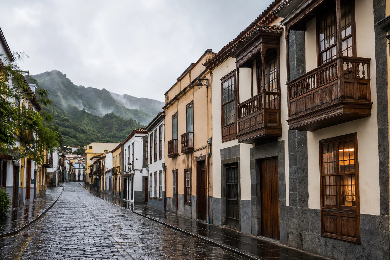
The hamlets and the old paths. Many trails today are bridle paths that for centuries were the only link between settlements. Walking them with that context changes the experience considerably.
The ravine farmland. Terraces on impossible gradients, which explain the relationship between these people and this ground better than any information panel.
What level it asks for
It depends entirely on the itinerary, and in Teno the range is wide: there are gentle walks across the plateau and there are long descents towards the coast that then have to be solved.
Three honest warnings:
- Linear routes dropping to the sea require arranging the return before you start. It is the district’s classic mistake.
- The massif’s roads are narrow with continuous bends, and parking at popular spots is scarce.
- Mobile coverage is patchy. Carry the map downloaded.
What to bring
- Closed shoes with good grip.
- Enough water. The area is dry with few places to resupply.
- Sun protection, a cap and sunglasses. There are long stretches without shade.
- A windproof. On the cliffs, wind rules.
- Something to eat. The settlements are small and not always served.
In summer, check the wildfire risk level before planning the route.
How I can help
In Teno, much of the value of going accompanied lies precisely in what the first half of this piece describes: knowing what is open, what depends on a bus and which route makes sense that particular week.
I prepare private low and mid-mountain routes agreed with your group: the itinerary is decided according to your real pace, the date, the state of the access routes and the expected conditions, and it is confirmed in writing before booking.
I hold the qualification of low and mid-mountain trail guide (AFDA0611), including the first-responder and first-aid unit, and the activity is registered for active tourism (TA-4-0026356.16), with the insurance the regulations require. I am also an official tourist guide of the Canary Islands (GTI-289).
I do not offer the Masca gorge descent. It is a regulated activity with its own chain of bookings and it is not part of what I prepare.
If what you want is not walking but touring the north-west by road — the village of Masca, the viewpoints, Garachico and Icod — that is a different day: Full Day Tenerife.
Frequently asked questions
Can I drive to Punta de Teno? Access is regulated. For visitors, the option published by Titsa is bus route 369; always check the current information before travelling, as weather or incidents can change the situation.
Do I need a permit to walk in Teno? For the massif’s usual trails, no. What you do need to check is their condition and the road access restrictions, which are the real constraint in this district.
Can I park in Masca? Parking in the village is limited and fills up. Go early or outside the middle hours. The access road is narrow with continuous bends.
How does Teno differ from Anaga? Both are old massifs with hamlets and historic paths, but Anaga is damper with more laurel forest, and Teno is drier, more abrupt towards the sea, and has more of a grazing plateau. And above all: in Teno, access conditions constrain far more.
Is it a good area for walking with children? Teno Alto yes, choosing short routes. The descents to the coast no: they are long and the return is the problem.
Can I do the Masca gorge with you? No. It is a regulated activity with its own booking, a compulsory shuttle and a boat ticket, and it is not part of my routes. I explain it in detail in the Masca gorge piece.
When is the best season? October to May, for temperature and wildfire risk. Spring is particularly good on the plateau.
Before planning the route
Check access conditions through Buenavista del Norte town council, line 369 timetables at titsa.com, and trail conditions and alerts at tenerifeon.es.
And if you would rather the route were agreed with you, write to me telling me who is walking and your dates.
→ Check availability · Anaga and walking · Hiking at Chinyero
Qualifications, registrations and professional associations
Official Canary Islands Tourist Guide, Starlight Guide and low and medium mountain route guide.
- Official guideGTI-289
- Starlight Guideno. 40
- Low and medium mountainAFDA0611
- Active tourismTA-4-0026356.16
- Tourism intermediaryI-0005095.1
Registered active tourism activity with the current civil liability and assistance or accident insurance required by law.